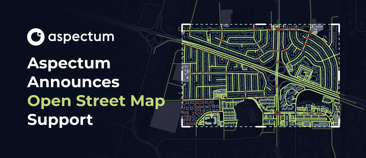
Aspectum is introducing Open Street Map (OSM) support. From now on, our users will be able to use OSM data and visualize it through Aspectum map layers for faster and more convenient data analytics.
Since geographic information systems are essentially frameworks that enable smooth data display, management, and analytics, the main concern for GIS specialists remains securing consistent data sources. Specialists can spend up to 80% of their work time when creating a geospatial map on data gathering or finding reliable data providers.
And for many professionals, especially those that lack their own datasets, it may be challenging to find or to set up third-party volumes to work with their particular GIS. The OSM integration will optimize the Aspectum environment for seamless open-sourced data use. This implies a convenient dataset search engine inside the platform, along with the ability to add third-party OSM entries in just a matter of clicks.
What’s an Open Street Map?
But first things first. OSM is a free collaborative geo-data project meant to democratize access to geospatial data for personal navigation devices, and generate independent interactive maps. Inspired by the success of Wikipedia, this crowdsourced project started collecting user data using GPS devices, photographs, and manual entries in 2004. Since then, OSM data has been available under a free license.
Because OSM is open and free to use, anybody can download and use its databases. The system supports exporting via API and converting data from its native format into other GIS-related formats, to pull out specific features you might want from an area. Today OSM datasets are used by Facebook, Apple, Microsoft, Uber, and many other big companies around the globe.
The OSM API allows editing software to communicate with the central server. When a user sends a request for data in a particular area, the associated call to the server retrieves the information within the search criteria. This is what allows Aspectum to provide free and reliable data from scratch directly to users in a fast and convenient manner.
Helping both newcomers and industry experts
While this update is aimed at helping GIS beginners by lowering barriers to entry into the field, GIS professionals will also find that their workflows have been significantly simplified. New users can now add the necessary info to their maps and see the results in a mere 2-3 clicks without having to dive into the subject or hire dedicated specialists. This means that any confusion over searching for the right data on OSM, downloading datasets, and implementing them into a map is greatly reduced thanks to our implementation. While experienced users will be able to find and integrate their needed OSM datasets without even having to leave Aspectum.
How to use OSM datasets with Aspectum
- Create a new map or select an existing map in your Aspectum profile. Then browse to the Data Catalog section.

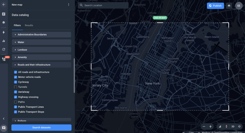
- Set up the filter to select the desired information: data source, date of the latest update, type of objects, etc.

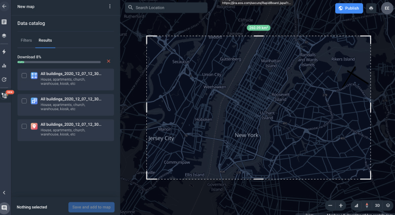
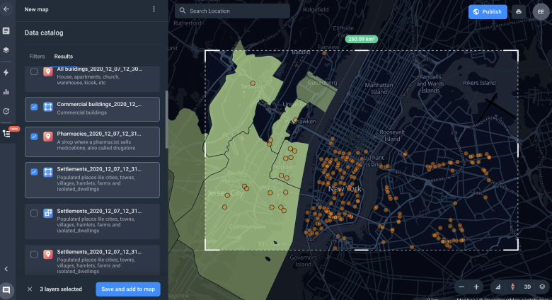
- Select an area of interest by drawing a rectangle on a map. Then choose the desired datasets available for this particular area from the list on the left.

- Save the selected datasets to your storage and new layers will automatically be added to your map. You’re good to go!
What’s next?
Aspectum is constantly working on implementing new features that give our customers a competitive edge. Follow our updates to be the first to learn about new functionality! For further questions or suggestions, please feel free to contact Aspectum customer service.
Aspectum is introducing Open Street Map (OSM) support. From now on, our users will be able to use OSM data and visualize it through Aspectum map layers for faster and more convenient data analytics.
