Data is the new oil. Yet, it doesn’t belong to the rich, but rather to the informed. That’s why it is imperative for analytical experts to be educated about diverse data processing tools, including those handling geospatial data.
Still, the concept of geographic information system itself is complicated, to say nothing about the solutions that derive from it. In this article, we focus on one of WebGIS: what it is and why it’s important. Buckle up.
What is Web GIS and how it works?
In a nutshell, it is a good old geographic information system, but with a major improvement: it offers mappings simply in a browser. The immediate benefits of Web GIS are accessibility and affordability. Thanks to this solution, those seeking insights from geospatial analysis don’t have to purchase costly and oftentimes complex software.
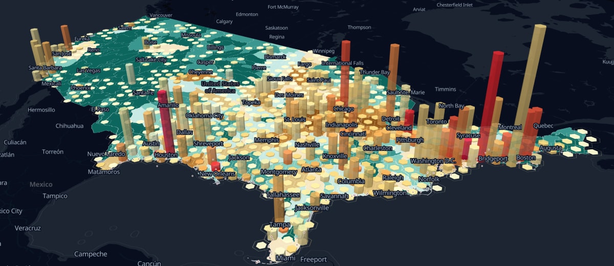
The definition may trick some into thinking that GIS web mapping offers standard online maps like Google Maps. And that is one of the reasons why many don’t employ the solution — simply because they grossly underestimate it. This tool allows users to display different types of information. Not only do such systems merely present the data available, but also they generate extensive reports by processing arrays of information.
Previously, there were only so many companies able to incorporate advanced GIS instruments into their workflow. Firstly, they were accessible only with the help of complex and pricey software. Secondly, in order to run GIS, organizations required powerful hardware. And finally, the question of human resources: only highly-skilled specialists with the required training could navigate the systems.
In contrast, web GIS mapping automatically assembles data from the key sources, including Google, HERE, OpenStreet, and displays the results on a web-page. This makes the web GIS tool powerful, easy to use, and deeply insightful. Moreover, a clear and intuitive interface of the GIS web service dramatically reduces the costs and the time for onboarding. Even if the staff lacks expertise, some analytical thinking together with tutorials (and just a pinch of magic) will make a person a proper specialist.
So, how does it actually work?
When a user makes their inquiry, the exchange of data happens between GIS server and a browser. Each server is equipped with a specific URL for clients (browsers) to locate it on the internet. Once it is found, end-users can access the result. The system eliminates the necessity of custom-made apps. Moreover, businesses can incorporate GIS web mapping into their workflow to enable several teams to work on projects together. One of the greatest advantages of this tool is that it is less exposed to the risk of becoming outdated.
What’s in it for you?
The optimistic answer would be that with this system and the right approach, the sky is the limit. However, a more realistic one would be that even though you can perform numerous tasks with the tool, not all of them will be completed equally seamlessly.
Without further ado, here are the key services Web GIS offers organizations:
- Create, test, and integrate solutions for analytics distributed to other team members, departments and even institutions.
- Share your data, findings, and insights with the world. By using this tool, you can upload the results of your data analysis not only to a very narrow circle but make it available to broader audiences.
- Portion the access. Make sure each team member has the amount of data required for their work and not more, (especially if data is sensitive). In case an employee or a partner needs only findings results without accessing raw data, you can grant limited access.
- Make it cross-platform. A web-page looks and feels just like a native app on mobile devices, too. And it performs the same work: collects data, processes it and presents it as maps. This creates instant data communication between a field scout and an office decision-maker.