
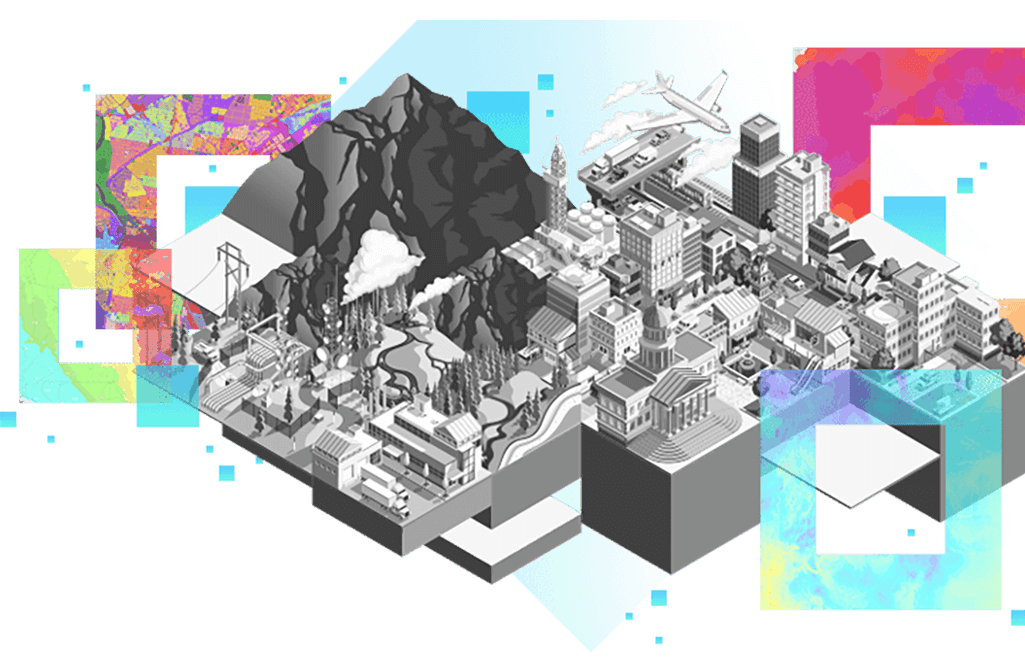
Welcome to the world of Geographic Information System
GIS spatial data analysis has become yet another confusing concept with an abbreviation in it. Is it something data specialists drop in conversations every once in a while to sound smart or there’s more to this system? The time has finally come to take a look-see at GIS basics to find out what it actually is and what potential it has across industries.
Let’s start with the GIS definition: these three capital letters stand for Geographic Information System (GIS). Simply put, it’s a special system that processes geospatial data in order to provide you with valuable insights regarding various industries, topics, and phenomena. This system allows you to automatically gather, store, analyze and neatly display data. You can also choose the format of viewing the results. The insights gained from using geographic information systems shed some light on a problem and equip you with precise knowledge for making well-informed business decisions.
Briefly about GIS History
Advancement of AI and machine learning enabled GIS mapping to become powerful and effective tool, but it’s not the tool invented with a computer. As a matter of fact, the first-ever spatial analysis was executed 82 years before the first computer was invented. Back in 1854, Dr. John Snow effectively foresaw the spread of the cholera outbreak in London, which took lives of more than 500 people in only under two weeks. Dr. Snow interviewed residents to identify the source of the disease. Eventually, his investigation led him to a water pump on Broad Pump. This case is one of the earliest geographic inquiries for gaining insights about a health situation in the area.
Fast forward one century to the 1960s, when Dr. Roger Tomlinson created the first geographic information system analysis. His system was devised to collect, store and analyze the agricultural and commercial potential of fields in Canada. The original method had a set of limitations, but with the introduction of the system into other industries, it was becoming more and more advanced.
Lately, open source GIS mapping software has emerged. It accelerated the diversity and saturation of the GIS market by making the tools more dynamic and powerful than ever before.
The use of GIS mapping — Tackle Complex Obstacles With Data
“What does the geographic information system do?” The immediate answer to this question is: “It visualizes data.” Professionals across businesses employ this solution to create interactive searches that analyze geospatial data at hand, arrange/rearrange it in maps, and display gained reports.
Here are some of the information types gained with Geographic Information System (GIS) :
- Types of vegetation
- Agriculture insights
- Competition distribution
- Population insights
- Infrastructural data
- Crime rate by neighborhoods
- Cellular service coverage
- Health institutions locations
- Resources availability
- Industry condition
How does GIS work?

A significant chunk of information has data about a place — about 80% contains some sort of a geographic element. This means that geospatial insights are significantly important for better devising growth strategies. But don’t worry if spatial analysis sounds like a toughie for the force of GIS analytics is with you.
Thinking that the GIS is all about maps is false logic. Its main superpower lies in the ability to assemble different bits of previously unrelated data and turning them into a coherent, informative and easy-to-read report. The information can be of various types and forms from rivers and mountains to agglomeration and gender ratio in different areas. Moreover, it’s not obligatory that the data is gathered from the same sources or even in the same format.
The workflow of working with GIS mapping consists of 5 steps:
1. Know what you’re looking for.
First and foremost, it’s crucial to distinguish what exactly you need. This initial request will define all the following steps and how successful they are going to be. Here are some of the questions you need to answer at this stage:
- What kind of data do you need?
- Where can you access it?
- How would you like it to be displayed?
2. Get your data
The second step lies in the actual gathering of the data in question. The answer to the questions from Step 1 will prompt you what to gather and what kind of analysis to perform. Your project itself will determine what and where to get, as well as which methods should be used. In most cases, your first go-to source may be open data provided by government institutions or statistics offices. Additionally, you can receive needed information upon request.
3. Choose wisely
Of course, once you have collected some data, you will need to take a closer look at it to assess both its quality and relevance. For this, you’ll need to pay attention to the nature of a gis data pieces, its accuracy, and how it is grouped.
4. Study the analysis
Of course, once you have collected some data, you will need to take a closer look at it to assess both its quality and relevance. For this, you’ll need to pay attention to the nature of a gis data pieces, its accuracy, and how it is grouped.
Your main asset from using GIS is geographical mapping. Once you have it, you’ll need to decide on the type of insights that are relevant to your project. The good news is that you have a number of various methods to view these insights. But don’t spend too much time overthinking your choice. With the modeling tools available on GIS platforms, you can effortlessly change the method of data analysis or create a new output.
5. Share the results
Having obtained what you were looking for with your analysis, you can distribute it among other team members involved in the project. It’s up to you how your findings will be displayed: as a report, map, or table. Also, you can either print it or send it as an email, in a messenger, or in any other convenient way. Since not everyone may be tech-savvy enough for reading a complex report, your webgis service adapts it for different people depending on their level of expertise and background.
GIS Pillars
GIS mapping combines 4 main elements. Knowing them is fundamental for understanding what geographic information system is and how to effectively use it.
- Hardware is the required equipment for the accurate and flawless operation of geospatial analysis. Workstation running GIS software is the main GIS component for desktops. The market provides CPU(Central Processing Unit) and GPU(Graphics Processing Unit) solutions — the latter outperforms the former in terms of speed.
However, the desktop is not the only device you can access the service from. With webgis mapping solutions becoming more widespread, web servers start being crucially important. And presently, there are geographic information system tools available for mobile devices as well. - Software. There are different types of software. By employing GIS application package, users get their hands on multiple geospatial possibilities. Also, there are available extensions. They are used to widen the capabilities of GIS apps. If you want to access geospatial data analysis instantly, web gis mapping tools are at your service. Plus, they are affordable too: many providers offer free GIS web software.
- Data. If you think that GIS mapping is impossible without data, you’re absolutely right. But it’s not all the same. Vector data is depicted as tables, graphs, and schemes. Raster data is cell-based. It includes digital elevation. Next, there’s also attribute data. It stores further information on a spatial item. Records about databases and detailed information about them are metadata.
- Specialist. Depending on the software and the complexity of analysis, there are different levels of training required for working with GIS mapping. Analytical skills are essential strengths for a GIS specialist. Not only do they need to execute all the aforesaid procedures, but also it is their task is to convey the analysis findings to businesses.