Continuing our series on application of GIS in various industries
Oftentimes, innovation can happen for its own sake with no serious issues to deal with and thus justify its adoption. Geospatial data has proven its worth in the first iterations of the technology. These are familiar things – take Google Maps for example. The availability of data, however, allows this technology to go higher and show much more. This is part two of our series on geospatial analytics and how it’s new enhanced capabilities help other industries to progress.
Logistics
Transportation was probably the 1st industry to take GIS much further than any other. Logistics management systems always were the center of geospatial analytics, making for a great example of how this technology can be used that doesn’t need much of an introduction. We should, however, expand on the key functionality GIS can offer in logistics.
- Route planning
Moving cargo via the most efficient routing is important for the cost of operations. Planning it in the best way possible will have a direct impact on productivity. Accompanied by additional sets of data, route finder GIS solutions can achieve ultimate levels of optimization to deliver goods in the most efficient way possible.
- Asset tracking
Creating the best route is one thing. A solid grip of how it is followed through is another part of a delivery business that takes an individualized approach. GIS tracking allows you to watch the movement of your cargo fleet, allowing you to account for possible holdups and changes in logistics, scheduling your operation accordingly.

- Driver navigation
Schedules may shift, routing is subject to change. Staying up to speed is equally as important for drivers as it is for dispatchers. This is why empowering them with easy means for navigation is integral to a successful logistics operation and Geographic Information Systems provide intuitive means to make it a reality.
- Business development and location analysis
Logistics is not just a business of vehicles. It is also about supporting the transportation in the most efficient way possible. In order to do so, you have to make sure that your logistics network is effectively spread across the territory with nodes collecting and distributing the cargo in the best way possible. GIS logistics will help you collect all the important data within a unified dashboard to overlay all the relevant insights and find the best spots to open new branches.
Government Development
GIS is instrumental when dealing with major regions of the world. No matter how small a country or a district is, it takes immense effort to build a comprehensive and actionable view of the nation. Here, GIS helps to control different processes, follow the initiatives and do estimations resulting in improved decision making and collaboration between local and state branches of government.
- Improving communication
Mapping contributes to a more transparent and collaborative effort of government and its citizens. People get a much better vision of the state initiatives and so more control over their country. They can respond to various initiatives within their country.
- Elimination of data silos
Government agencies often run into the common issue of data silos. The data is there but it is badly formatted and applied in a very narrow case usage. This diminishes the value of available information. With GIS, however, you can create highly transparent datasets that can be unified for multiple departments and wide audiences, plus usability that is drastically enhanced.

- Environmental policies
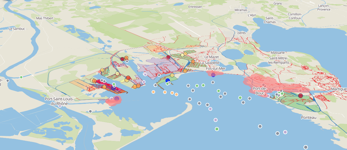
Pollution is one of the major challenges of our world. Today, humanity produces so much waste that it’s easy to do much harm to the planet and reducing the adverse effects of our activities should remain one of our top priorities. GIS can help to shift focus towards the polluted areas and make this information especially vivid through visualization.
Maps That Empower You
From the very cradle of humankind, people have been recording information through imagery.
Nowadays, maps are still the very best and the most flexible means for the data to navigate on our diverse planet. The real flexibility though is not only the innovative solution to the problem but the ability to deliver conclusions in the most distinct format possible.
This why for instances when interactivity is not an option, PDF export is common among GIS platforms. It is clear that for complex purposes mapping should be used more frequently to show what is often lost in text. GIS allows users to sculpt their analytics into the best possible report that is required to present specific correlations and conclusions. Geospatial analytics is a new way to display information that makes multifaceted ideas easy to understand.