This website uses cookies and also collects some information using analytics software to improve user experience.
By continuing to browse this website you accept the use of cookies. See Privacy Policy to know more about how we use cookies.
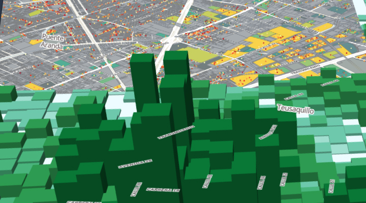
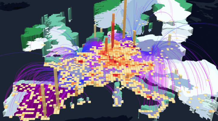
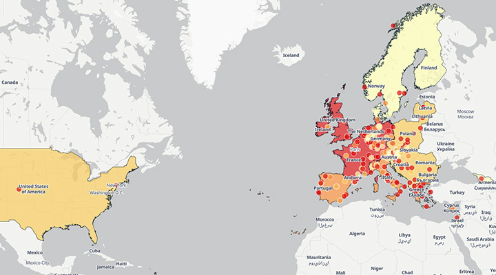
Bogota banking
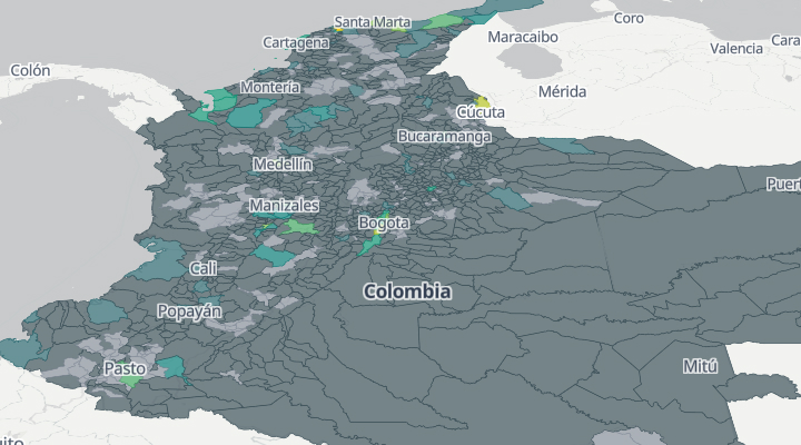
The map shows bank transactions in Colombia for two months of 2019, with the amount and date of each.