
This website uses cookies and also collects some information using analytics software to improve user experience.
By continuing to browse this website you accept the use of cookies. See Privacy Policy to know more about how we use cookies.
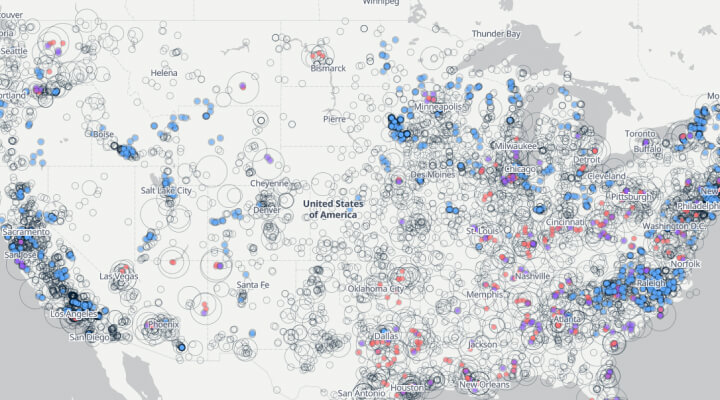
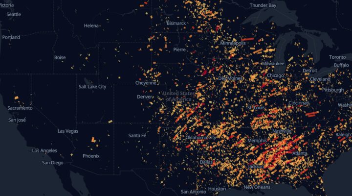
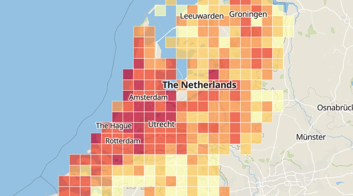
Tornadoes near trailer parks
The map shows which trailer parks are situated in tornado-prone region.