This website uses cookies and also collects some information using analytics software to improve user experience.
By continuing to browse this website you accept the use of cookies. See Privacy Policy to know more about how we use cookies.
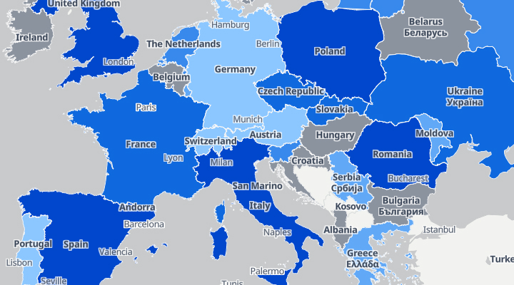
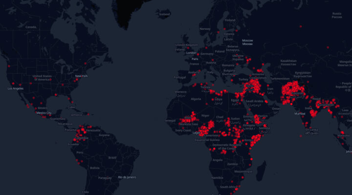
Domestic violence during COVID-19
The map shows an increase in domestic violence against women during the COVID-19 pandemic in Europe and the US.