This website uses cookies and also collects some information using analytics software to improve user experience.
By continuing to browse this website you accept the use of cookies. See Privacy Policy to know more about how we use cookies.
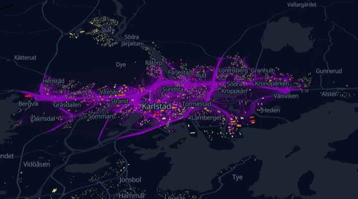
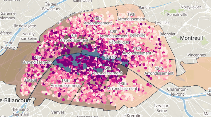
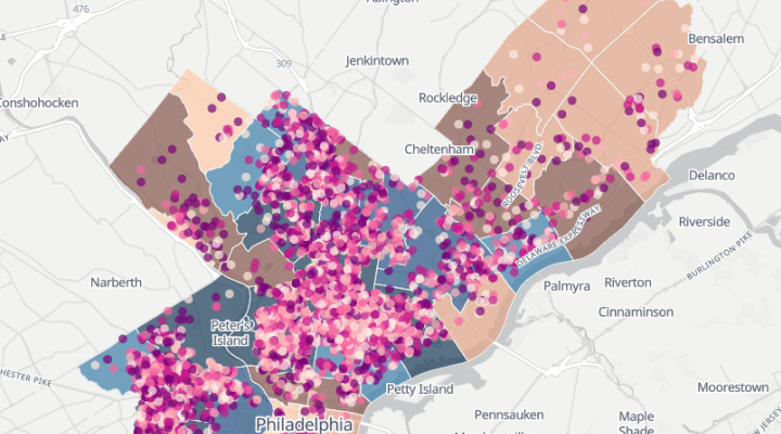
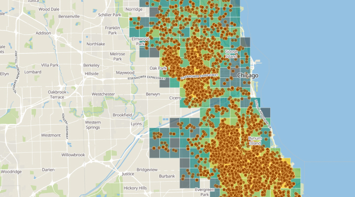
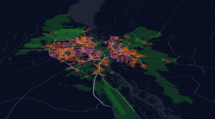
Human mobility and infrastructure in Karlstad
The map can be used to identify the best-fit locations for new stores depending on human mobility patterns and infrastructure.