This website uses cookies and also collects some information using analytics software to improve user experience.
By continuing to browse this website you accept the use of cookies. See Privacy Policy to know more about how we use cookies.
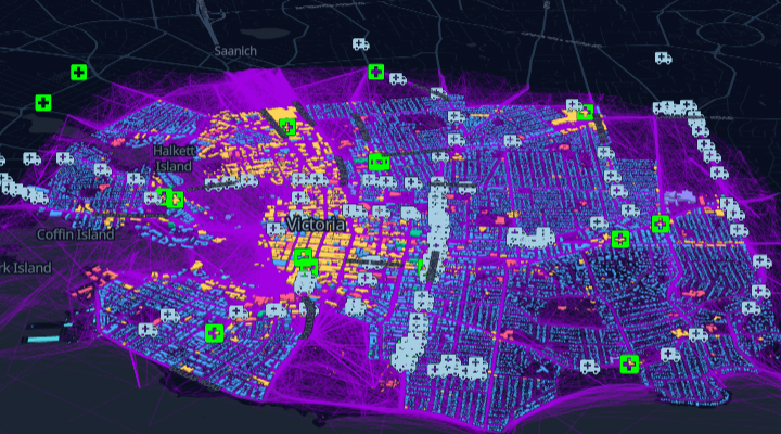
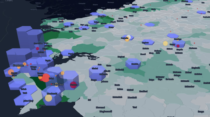
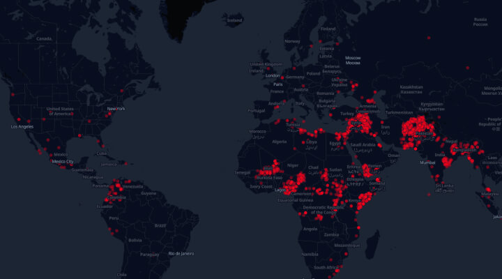
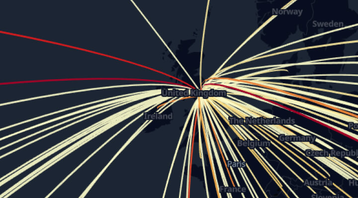
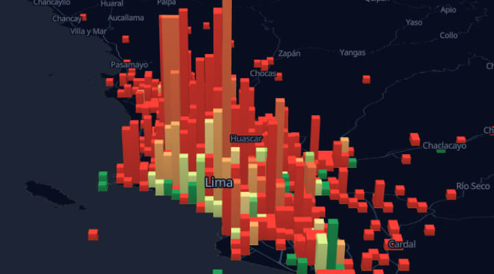
Victoria’s Human Mobility
The interactive map displays human mobility patterns during the pandemic in Victoria, British Columbia (Canada).